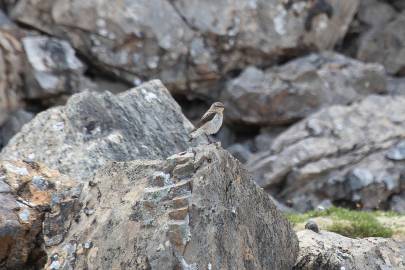
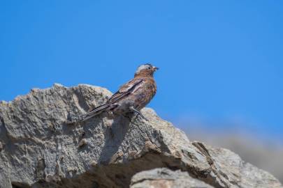
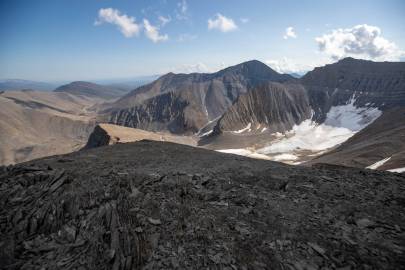
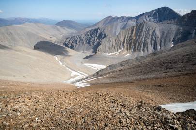
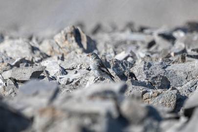
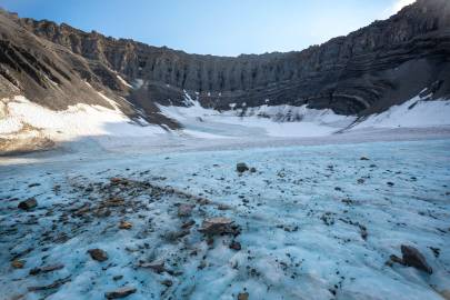
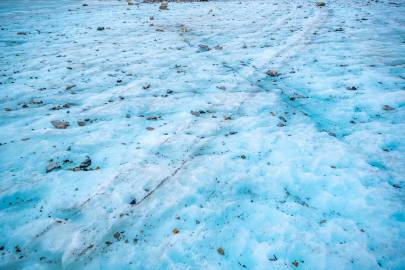
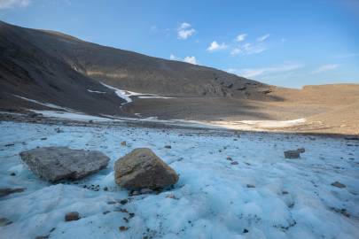
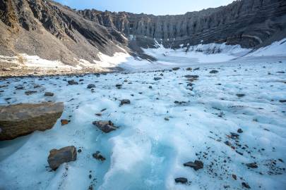
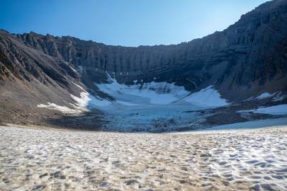
Seeing as it was Sunday I figured I would sleep in a bit. Feeling guilty for not being there, I wished my daughter a happy birthday via inReach, got up and got going at 10am. I headed over to the saddle of the pass and followed caribou trails down to the valley floor. I tried to photograph a bird, then made my way back up the creek and then up the scree. Just before approaching the Yellow Brick Road I stopped and photographed some gray-crowned rosy finches. By just after 11 I was at the top of the ridge south of the glacier.
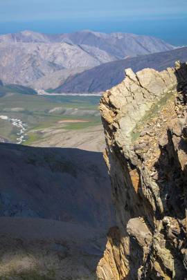
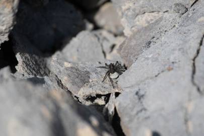
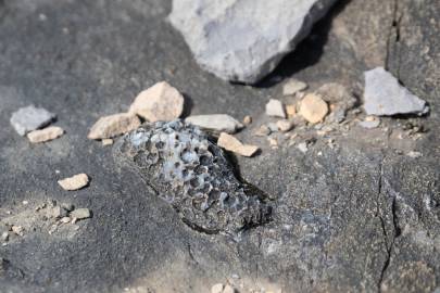
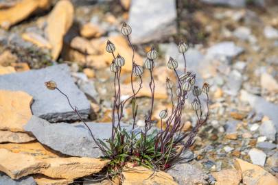
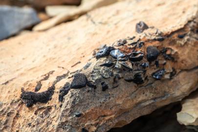
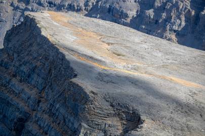
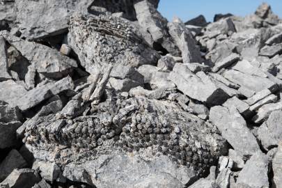
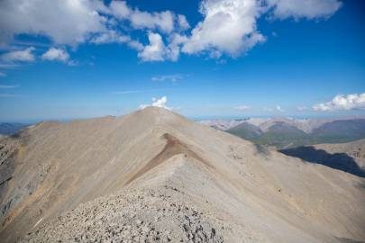
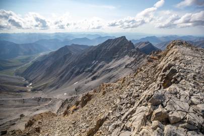
I walked along the ridge, staying a few feet in as the north side was usually a vertical drop of 100+ft with a good chance of tumbling another several hundred feet. It was a pleasant hike with great views, new perspectives, fossils, lichen, something I took to calling tundra pumpkins (later I was able to identify them as nodding campion), one or two little black spiders, and an occasional snow bunting or gray-crowned rosy finch shooting by on a breeze.
By just after one I had made it to the summit. The weather was great, the breeze was pleasant, and the bugs were virtually non-existent. I took in the view, took some photos and then headed to the saddle to the south.
When I got to the saddle, I was glad I had chosen not to camp there as was the original game plan. It was very exposed and had a steep roll off to the east and west. If my thighs were giving up around 400ft yesterday, how would I have managed 1,000ft and that would have been in addition to a 250ft push below the glacier. While there was a patch of snow still up there with a trickle of water it wasn't as nice as the small flow at the head of Fire Creek.
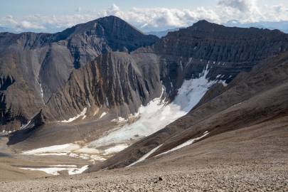
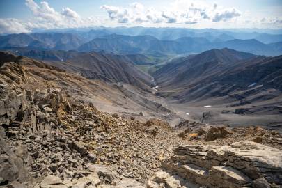
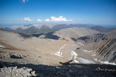
I proceeded south and summited the peak just east of the glacier marked 5685 on the topo. The alternate exit route down the north side of the peak looked too steep to attempt with the gear. Fire Creek was going to be the best way out of the glacier basin.
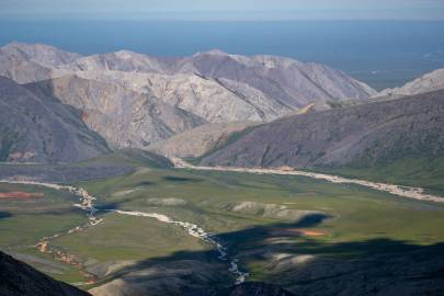
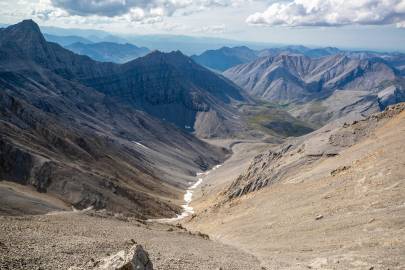
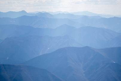
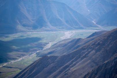
I threw my telephoto on and scoped about. Seeing as the creek on the alternate route ran dry before merging with Cache Creek; was Cache Creek going to be floatable? If Cache Creek wasn't going to be packrafted that added at least 9 or more miles of hiking. The Fire Creek route was already an additional 8 miles of unplanned hiking. Eric had to be back by a certain time and I had to be back a few days after that. The distances seemed to be growing and the speeds seemed to be slowly.
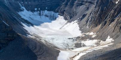
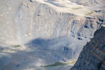
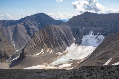
I photographed some glaciers in the Brooks Range with the telephoto and tried to get some other angles of the glacier and then started heading down. As I got closer to the saddle the eastern slope seemed manageable.
I dropped off the ridge and worked my way down the scree with one in 10 steps causing the rocks surrounding me to slide usually a foot or two but sometimes rocks would slide up to 10ft with the occasional rouge rock bounding 50ft down the slope. I made my way to the center of the funnel which was running in a northerly direction, and I could hear water running under the rocks. As the funnel formed a small couloir I peeled out to the east and then did some scrambling down to the snow field below. I glissaded and boot skied to the moraine.
